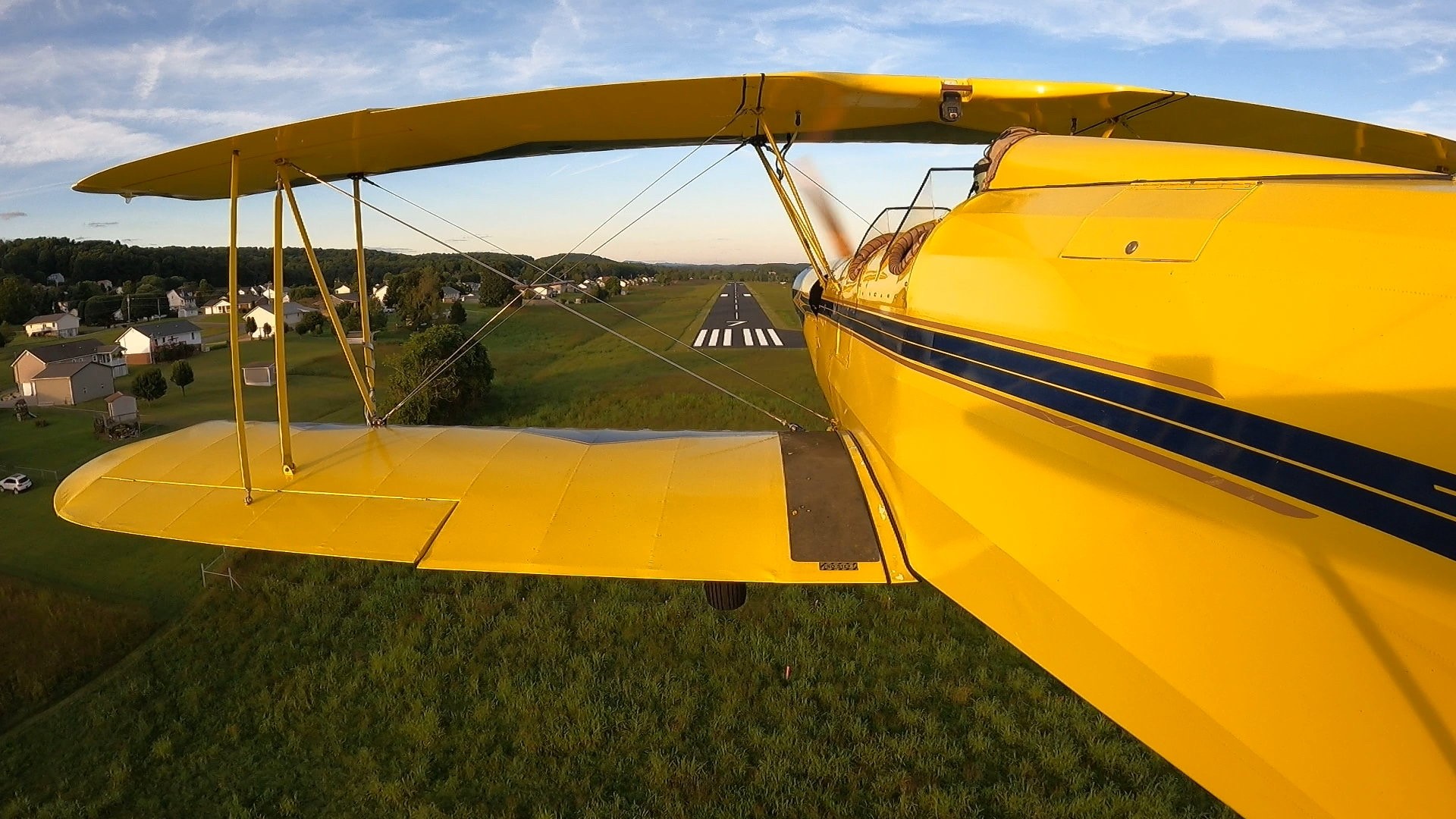
"A mile of road can take you a mile, A mile of runway can take you anywhere..."
This is a public airport and we welcome visitors. Please feel free to visit the airport any time during operating hours.
Jeff Cattrell is the Airport Manager in charge of the general operations and maintenance of the facility. Jeff has been a resident of Hawkins County since 1998. He brings over 30 years experience in General Aviation, and a true love for flying. As a long-time member of the young eagles program, Jeff has personally given over 200 first flights. Jeff enjoys sharing his time and knowledge with the next generations. As a local business owner and CEO, Jeff brings invaluable experience in both facility finances and operations. His love for the area combined with his passion for aviation, drive him to keep our local airport viable for years to come.
Address:
675 Main Street
Surgoinsville, TN 37873
(423) 345-0219
Hours:
8:00 a.m. to 4:00 p.m., Monday through Sunday
View Airport Pictures
There are several events held throughout the year for the public to learn more about flying and the airport. Examples are our Open House / Fly-in where area pilots fly in to the airport to display their aircraft for the public to view and ask questions. There are also "Young Eagle" events sponsored by the EAA "Experimental Aircraft Assocaition" that gives children ages 9-17 the chance to take their first flight and actually experience the control of the aircraft. This is a no charge event and is fully funded by the participating pilots.
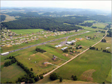 Airport Name:
 HAWKINS COUNTY
City: ROGERSVILLE
State: TENNESSEE
FAA Airport Code: RVN
Variation: 04W
Long/Lat: 082-53-06.1340W 36-27-27.2850N
Elevation: 1255 ft
FAA Regional Code: ASO
Fuel Types available: Grade 100LL (Low Lead Blue)
Unicom: DUSK-DAWNN 122.800 Hawkins County Runway Information
Runway Length: 3502
Runway Width: 75
Surface Type: Asphalt or Bituminous Concrete - Good Condition
Lights Intensity: Medium
Identifier: 07 25
Alignment: 064 244
Markings: Basic Basic
Longitude: 082-53-25.4060W 082-52-46.8610W
Latitude: 36-27-19.7100N 36-27-34.8590N
Elevation(feet): 1255.0 1230.3
Glide Slope Indicator: 4-LGT PAPI on left side
Identifier Lights: Yes
Centerline Lights: No
Touchdown Lights: No
Controlling Object: TREES
FAA Far Part 77: Utility Runway with a nonprecision Utility Runway with a visual Approach
Object Clearance Slope: 8 8
Object Height(feet): 55 31
Object Distance(feet): 650 470
Object Offset(feet): 263R 239L
Gradient: 0.7
**Disclaimer** - The information contained on this page is for general informational purposes only. It is not intended for navigational or other specific purposes. For these purposes reference should be made to existing government and technical sources.